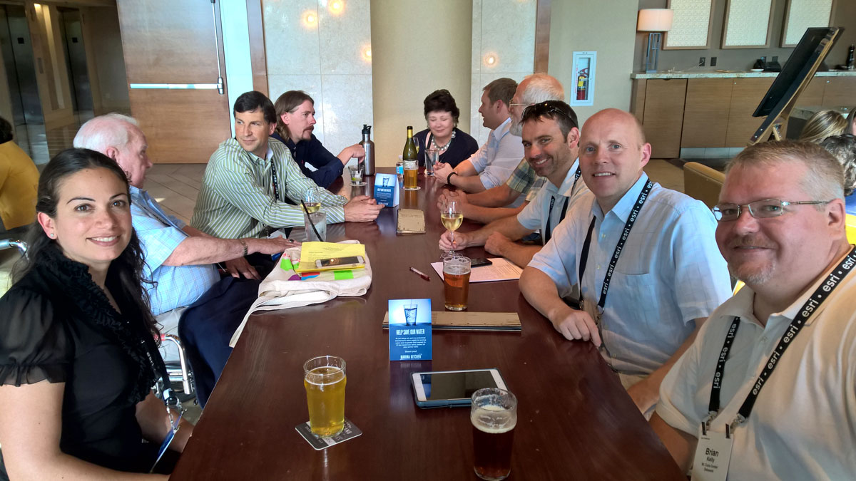
For some time now, Esri and Botanical Software have been collaborating to make it easier for ArcGIS users to access their Plant Collection Data on the ArcGIS platform. So last week in San Diego, it was with great pleasure that we announced the availability of the “ArcGIS Sync” for ArcMap at the “Esri APGA GIS Symposium”. This symposium coincided with the Esri Annual User conference and we followed the general conference programme on Monday together with the other 15.000 GIS enthusiasts. Brian Morgan from Esri and Mary Burke from UC Davies had put together an excellent programme for the symposium, which included interesting workshops and presentations. Many thanks to all who joined our reception on Wednesday, co-sponsored with Esri and Blue Raster.

ArcGIS Sync
The Alliance of Public Garden GIS (APPG), partly funded by IMLS, has established a Public Garden Data Model to make it easier for botanic gardens to adopt the ArcGIS platform. The IrisBG Sync will load plant collection data from Iris into ArcGIS in line with the APPG data model. A video presenting the IrisBG ArcGIS sync was posted on the IrisBG blog in June.
- Video – Technical Preview: https://botanicalsoftware.com/index.php/2015/06/arcgis-and-irisbg-synchronization-technical-preview/
- Download the IrisBG Sync: http://solutions.arcgis.com/parks-gardens/collections/
ArcGIS sync – is this relevant for me?
As many of you know, IrisBG is available with integrated mapping capabilities, which in many cases are sufficient when working with your botanical collection.
However, if you are looking for advanced geoprocessing power, you would need to consider a more advanced tool, such as ArcGIS. In addition, many institutions with botanical collections spend considerable resources on managing their facilities. In this context, their botanical collection can play an important role when managing the infrastructure in the garden. ArcGIS is used by many as a Facility Management tool and is great for keeping track of important infrastructure such as electricity pylons, cabling, sewage, water irrigation, building works, etc. Having the capabilities to see this information together with up to date plant collection data can be very useful.

There is no doubt that there is some overlap in what IrisBG and ArcGIS can offer. However, with IrisBG’s advanced features for managing botanical collections together with the powerful GIS features and facility management capabilities in ArcGIS, I am sure the combination of the two platforms will be of great help to many gardens in the years to come.
APGA Esri Partnership
The Esri partnership with the American Public Garden Association (APGA) started in 2012 and provides free GIS tools and resources to APGA members.
Other resources